


Termite Barrier Cost: A Comprehensive Guide
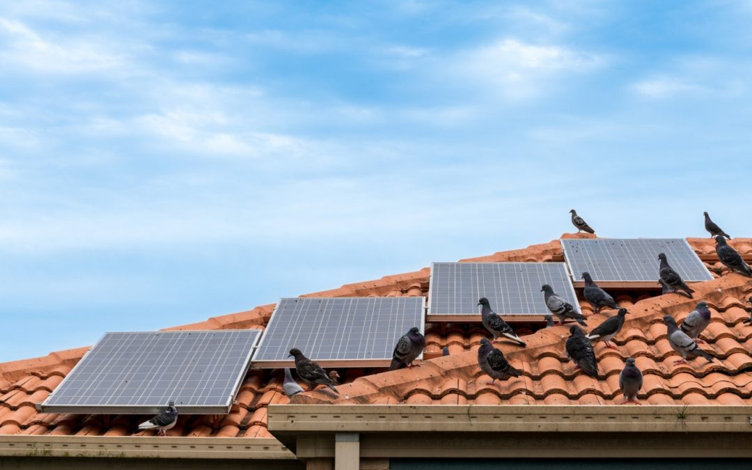
Termite barriers are an essential measure for protecting homes in Australia, where termite infestations are both common and potentially devastating. The damage caused by termites can lead to repair costs amounting to tens of thousands of dollars.
According to CSIRO, termite damage in Australia can exceed $10,000 per property, underscoring the importance of preventive measures. By investing in high-quality termite barriers, homeowners can ensure long-term safety, cost savings, and peace of mind. This comprehensive guide provides an in-depth look at termite barrier types, their costs, influencing factors, and the long-term benefits of termite protection.
What Does Termite Barrier Cost Look Like?
Understanding the cost of termite barriers involves recognising the factors contributing to the overall expense. According to Pest Control Australia, the average termite barrier cost in Australia typically ranges from $1,500 to $5,000, but this can vary based on barrier type, property size, and specific location.
Cost Variations by Type of Barrier
Chemical Barriers:
- Typical Cost: $30 to $40 per linear metre. These costs are standard for chemical treatments.
- Total Cost Range: Usually $1,800 to $3,500 for a typical property according to Australian Environmental Pest Managers Association.
- Reapplication Requirement: Every 5 to 8 years, depending on conditions and product quality based on Termite Control Solutions.
- Effectiveness: Creates a chemical-treated zone in the soil to deter termites from approaching the foundation.
Physical Barriers:
- Cost Range: Between $2,000 and $4,000 for standard residential properties, according to HomeGuard Termite Protection..
- Types: Stainless steel mesh, concrete barriers, and crushed granite.
- Durability: Offers a long-term, non-chemical solution that can last as long as the building itself if properly installed.
Key Cost-Influencing Factors
- Installation Fees: Professional expertise can add $500 to $1,000 or more, depending on complexity.
- Material Quality: Premium materials can increase expenses but provide better durability and effectiveness.
- Property Size: Larger homes need more extensive treatments, increasing both material and labour costs.
- Cost per Metre: Calculated based on the property’s perimeter and areas requiring protection.
Types of Termite Barrier System
There are two main categories of termite barrier systems: chemical and physical. Each offers unique advantages and considerations, depending on property needs and environmental concerns.
Chemical Barriers
Chemical barriers use termiticides to create a treated zone around the property. These solutions are designed to either repel or kill termites upon contact. effective treatments.
- Installation Process: A trench is dug around the property, filled with termiticide, and covered back up. This process requires professional handling to ensure effective application.
- Duration of Protection: 5 to 8 years, after which reapplication is recommended.
- Pros: Provides immediate deterrence and can be integrated with other pest control measures.
- Cons: Needs regular maintenance and may involve chemicals that some homeowners prefer to avoid.
Physical Barriers
Physical barriers prevent termites from accessing the structure by creating an impenetrable layer.
- Termite Mesh: A fine, stainless steel mesh that acts as a shield around vulnerable areas of a building.
- Concrete Barriers: Often incorporated during the construction phase to create an unbreakable seal.
- Crushed Granite or Sand Barriers: Designed to prevent termites from tunneling through.
- Advantages: Chemical-free, long-lasting, and eco-friendly.
- Drawbacks: Higher initial cost compared to some chemical treatments.
Factors Influencing Termite Barrier Costs
So what does the cost of termite barrier treatments look like? Several variables influence the cost of installing termite barriers, making it important for homeowners to understand these elements when budgeting for termite protection.
- Property Size: Larger properties require more termiticide or more extensive physical barrier coverage.
- Type of Barrier: Physical barriers often have higher upfront costs but require minimal maintenance.
- Property Location:
- Urban Areas: Typically have higher service charges due to greater demand and higher operational costs.
- Suburban Areas: Costs can vary based on service availability and competition among pest control providers.
- Rural Areas: While initial prices may be lower, fewer providers might mean less choice and potential additional travel fees for technicians.
- Soil and Site Conditions: Properties with rocky or uneven terrain may require additional preparation, increasing labour and material costs.
- Wet or Clay-Heavy Soils: May also affect the type of chemical treatment applied, impacting the overall price.
Eco-Friendly and Safe Barrier Options
For environmentally conscious homeowners, choosing eco-friendly termite barrier solutions is an excellent way to maintain safety while protecting the property.
- Non-Toxic Chemical Solutions: Derived from naturally sourced ingredients that provide termite deterrence without harming pets, children, or beneficial insects.
- Physical Barriers: Mesh systems and concrete provide long-lasting, chemical-free solutions (Australian Environment Protection Authority).
- Integrated Pest Management (IPM): Combines physical barriers with eco-friendly treatments to create a robust, sustainable defence system.
Long-Term Benefits of Installing Termite Barriers
Investing in termite barriers provides extensive benefits that extend beyond immediate termite prevention:
- Property Protection: Prevents structural damage, preserving the value and integrity of the home.
- Long-Term Cost Savings: Reduces the likelihood of significant repair expenses, which can range from $10,000 to $50,000 or more in severe cases.
- Increased Home Equity: Homes with documented termite protection measures are more attractive to buyers and may command a higher sale price.
- Preventive Care: Regular maintenance and inspections ensure the barrier remains effective, offering continual peace of mind.
Cost Examples by Region (Urban, Suburban, Rural)
Termite barrier costs in Australia can differ significantly based on location:
- Urban Areas (e.g., Sydney, Melbourne):
- Typical cost for chemical barriers: $3,000 to $5,000 as per Sydney Pest Management Reports.
- Physical barriers: $3,500 to $7,000, reflecting higher labour rates and material transport costs.
- Suburban Areas:
- Chemical treatments generally range from $2,500 to $4,000.
- Physical barriers average around $3,000 to $5,000.
- Rural Areas:
- Lower starting prices, often between $1,500 and $3,500, but may incur extra fees for travel and limited availability of services.
Don’t delay your termite inspection, speak to our expert team
 or
or
Conclusion
Choosing the right termite barrier is essential for safeguarding your property and ensuring long-term cost-effectiveness. We at Allstate Pest Control offer guidance, comprehensive inspections, and eco-friendly termite protection tailored to your needs. Protect your investment and gain peace of mind—contact Allstate Pest today for a personalised quote or a detailed property inspection.
Frequently Asked Questions
What is the average cost of a termite barrier?
The typical cost ranges from $1,500 to $5,000, depending on barrier type and property specifics.
How do I choose the best termite barrier for my home?
Assess factors like property size, budget, and environmental concerns. Consulting with experts like Allstate Pest Control can help identify the most suitable option.
Are termite barriers safe for pets and children?
Yes, especially eco-friendly barriers and non-toxic chemical treatments that ensure safety for all household members.
How often should chemical termite barriers be reapplied?
Generally, every 5 to 8 years, but conditions and products may extend or shorten this timeframe.
Can installing a termite barrier increase my home’s value?
Yes, termite protection adds significant value by assuring potential buyers that the property is safeguarded against termites.
Is there a notable difference in termite barrier costs between urban and rural areas?
Yes, urban properties often face higher service charges, while rural homes may have more competitive rates but less provider choice.